Map Types and Switching
Why There Are Multiple Maps
The best map depends on what you are doing. For mountains in Japan, the topographic maps by the Geospatial Information Authority of Japan (GSI) are the most detailed and reliable. Abroad and in cities, the worldwide Apple Map and OpenStreetMap are available. And when you want help reading the terrain, you can layer an overlay on top of the base map.
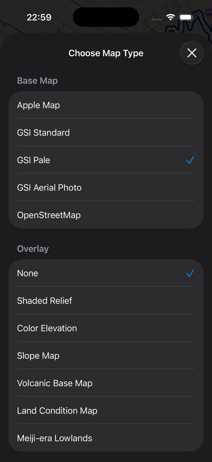
Maps in SkyWalking V2 consist of two layers: a base map (five types) and an overlay (none + six types) on top of it. Choose the combination that fits the situation.
How to Switch
Tap the map/overlay selection button on the map screen to open the "Map Type Selection" screen, and choose the base map and the overlay there.
Things to Know
Only the GSI Standard Map and Pale Map can be used to create offline maps (the GSI Aerial Photo is not eligible).
| Map type | Coverage area | Offline map creation | Automatic cache |
|---|---|---|---|
| AppleMap | Worldwide | No | No |
| OpenStreetMap | Worldwide | No | Yes |
| GSI Standard Map | Japan only | Yes | Yes |
| GSI Pale Map | Japan only | Yes | Yes |
| GSI Aerial Photo | Japan only | No | Yes |
| Overlays | --- | No | Yes |
For how to create and manage offline maps, see the "Offline Maps" page.
Base Maps (5 Types)
Apple Map
Apple's standard map with worldwide coverage, suited to cities and use outside Japan. Only while Apple Map is selected, a segmented control appears at the top of the map for switching between "Standard / Hybrid / Satellite".
GSI Standard Map
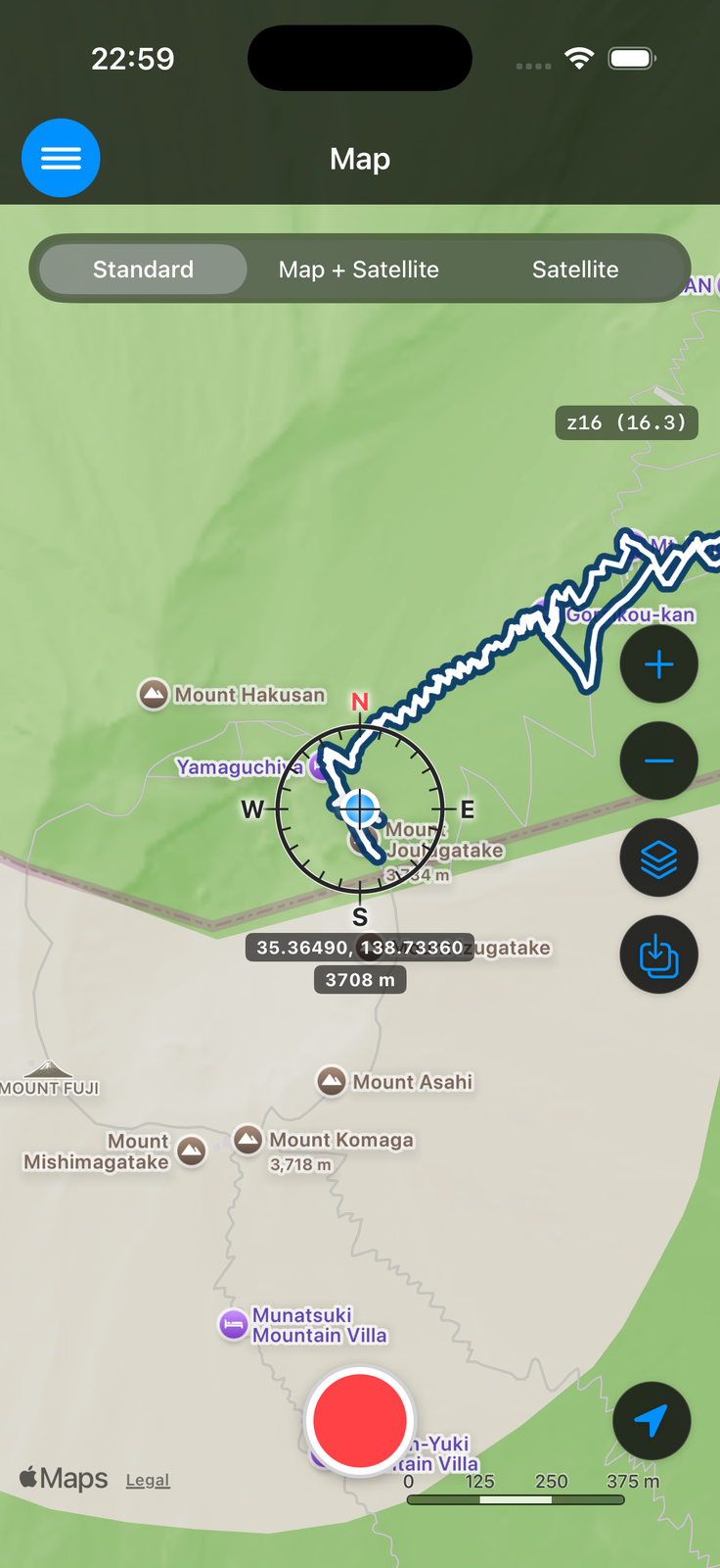
The main topographic map for walking mountains in Japan. Contour lines, trails and vegetation are shown in the most detail, and it reads much like a paper hiking map. Coverage is Japan only.
GSI Pale Map
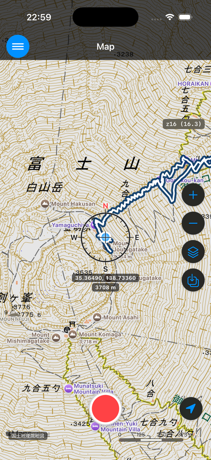
The same GSI map as the Standard Map, but with a subdued color scheme. Its advantage is that GPS tracks and overlays stand out clearly when layered on top. Coverage is Japan only.
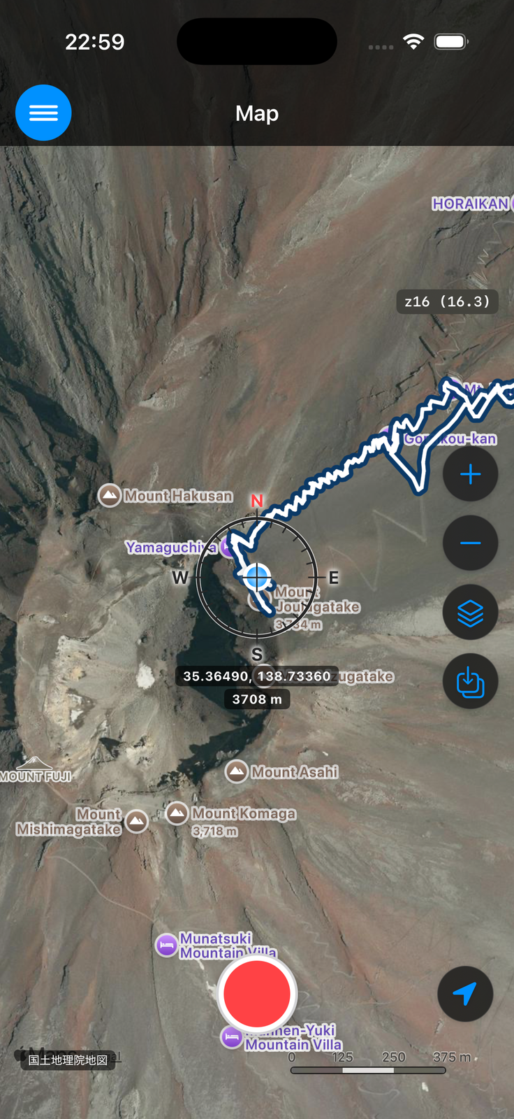
GSI Aerial Photo
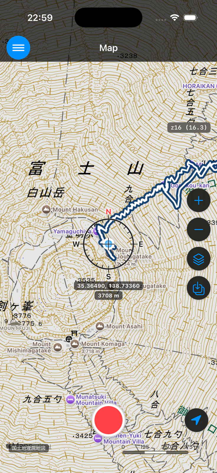
Aerial photography from GSI. You can check vegetation and the actual appearance of the ground. Coverage is Japan only.
OpenStreetMap
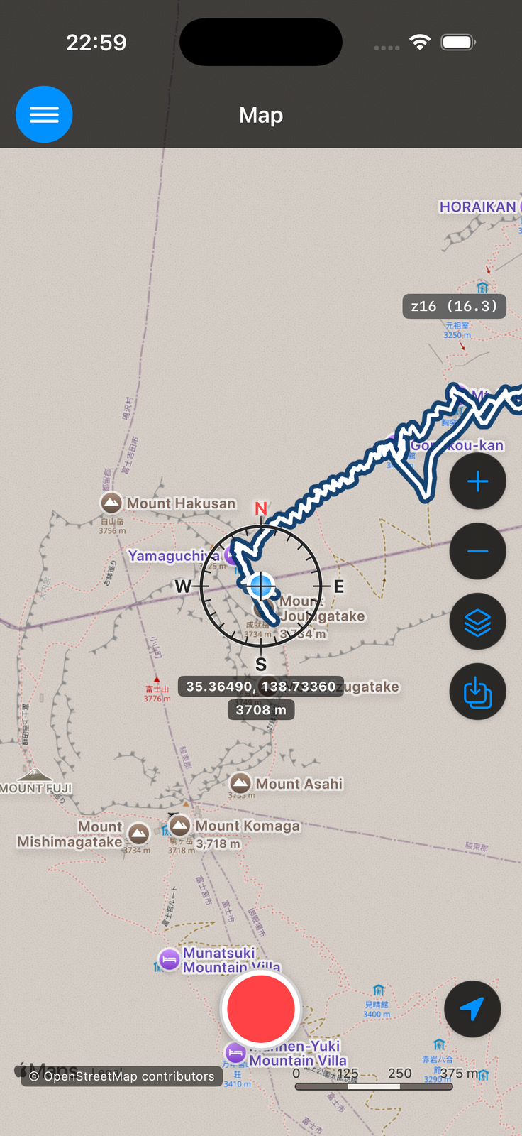
A worldwide map built by volunteers around the world. It is strong outside Japan, and for places and facilities in cities within Japan as well.
Overlays (None + 6 Types)
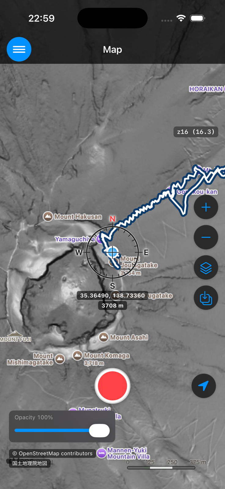
An overlay is a semi-transparent information layer displayed on top of the base map. Besides "none", you can choose from the following six. All of them are GSI tiles, so they are shown essentially only where tiles exist within Japan.
While an overlay is selected, a transparency slider is shown, letting you adjust how strongly the overlay blends over the base map.
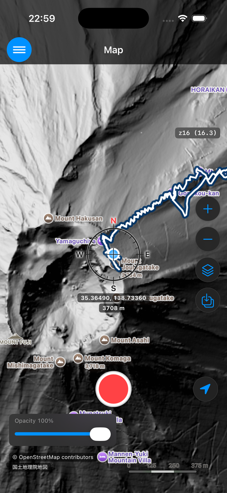
Hillshade Map
Renders the relief of the terrain with shading. Ridges and valleys become much easier to grasp, which greatly helps with reading the topographic map.
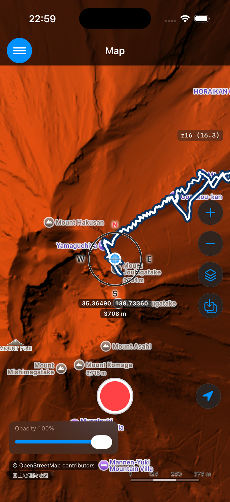
Elevation Tints Map
Colors the map by elevation. The distribution of high and low ground across an area is visible at a glance.
Slope Map
Shows the steepness of slopes as shading. Useful for spotting steep terrain.
Other Overlays
- Volcano Base Map — Detailed terrain maps of volcanic areas.
- Land Condition Map — Classifies landforms by how they were formed (uplands, lowlands, and so on).
- Meiji-era Lowland/Wetland Map — Shows areas that were lowland wetlands in the Meiji era.